Day 3: Don Edwards Wildlife Reserve to Colley Landing in East Palo Alto 10 Miles

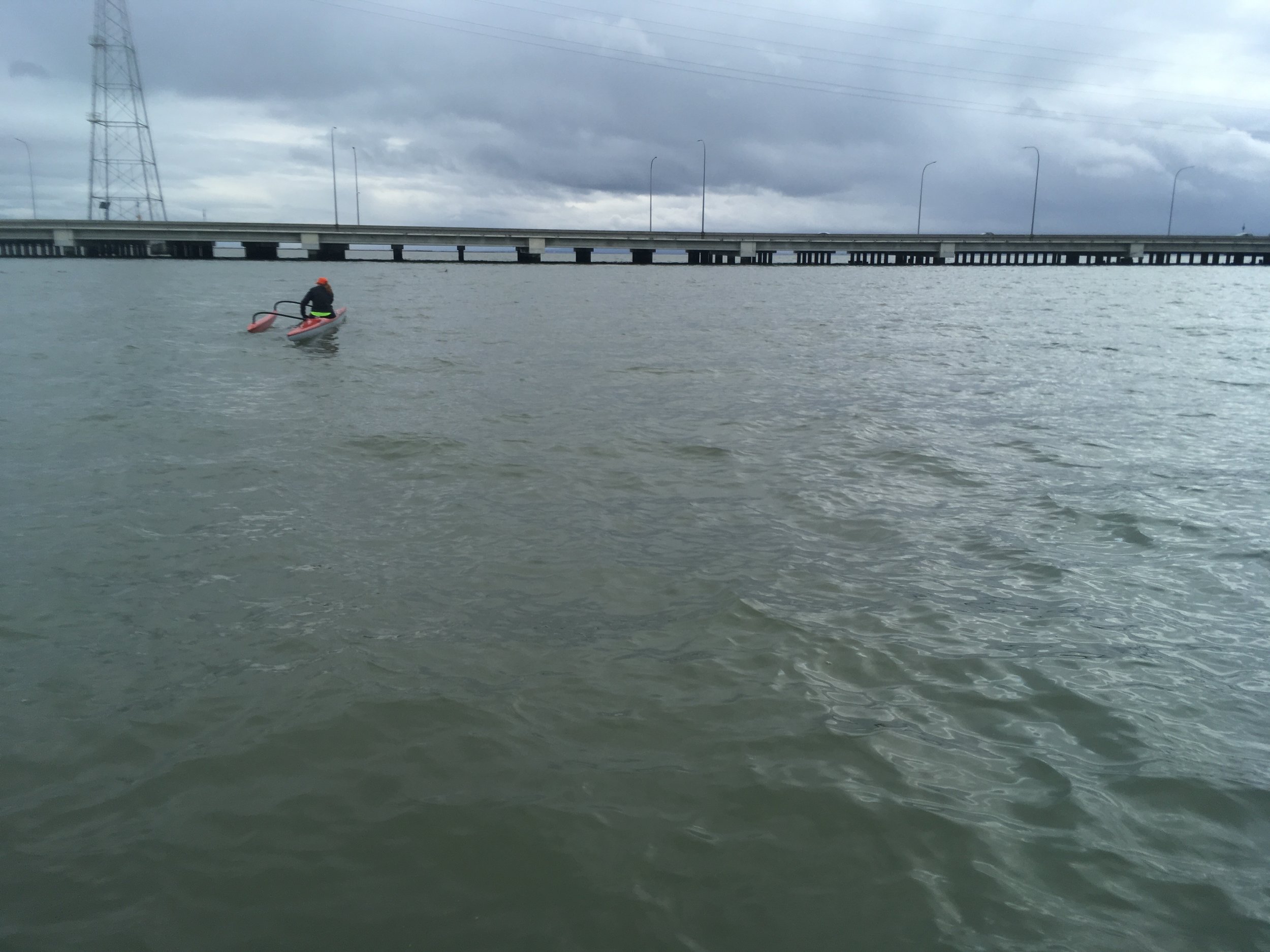
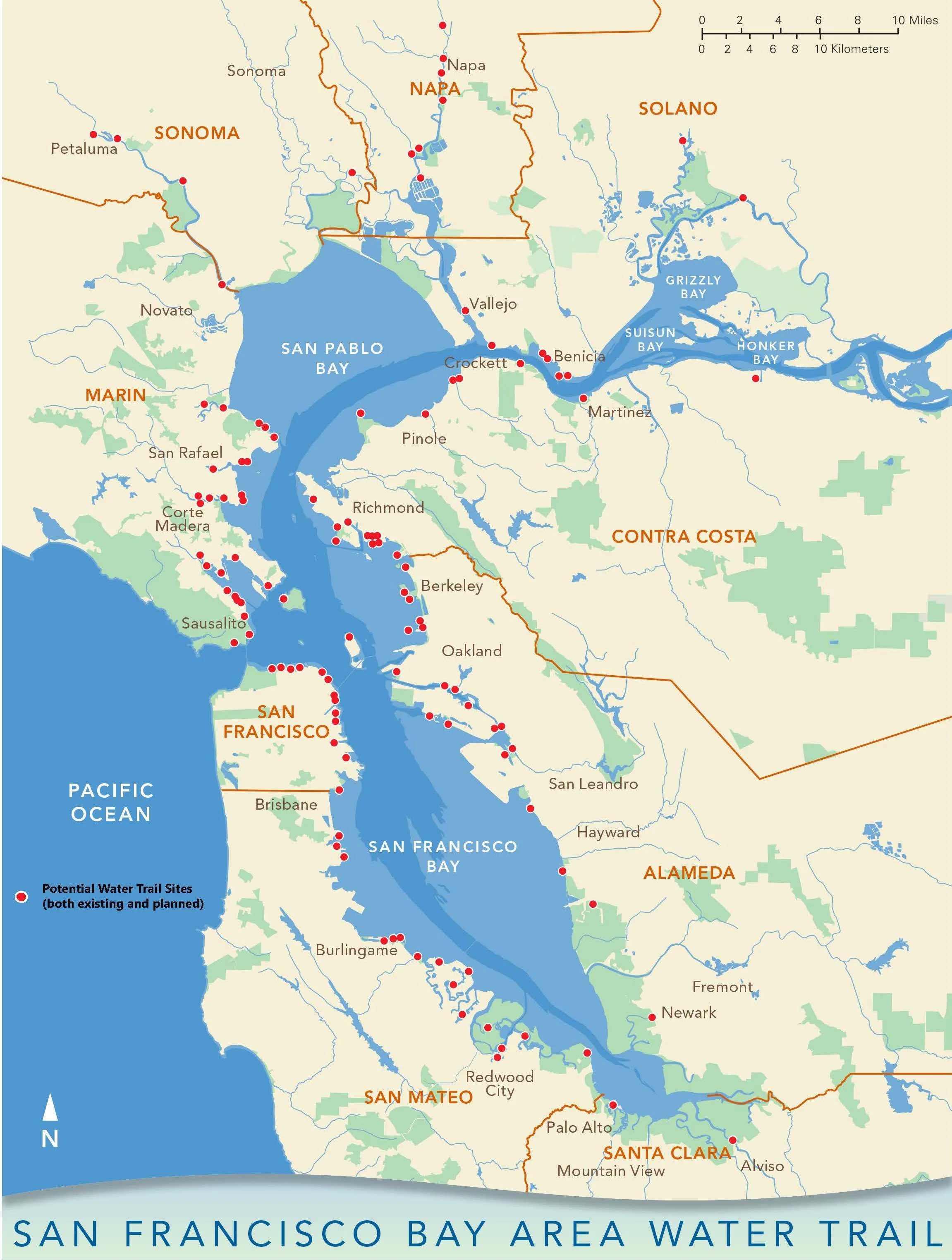
Crossing the Bay can be really fun or really miserable depending on the conditions, but a must do if you want to be more adventurous on a SUP. Typically summer winds are N/NW so crossing from east to west can be challenging. Winter time S/SW is even harder if you're paddling from towards SW. Learn how to paddle efficiently on one side or using a SUP with a rudder is critical for open bay crossings. On this particular stretch you also have to cross Dumbarton bridge, which has two small bridges behind it. The waves can get messy there also. Click below picture to expand the map.


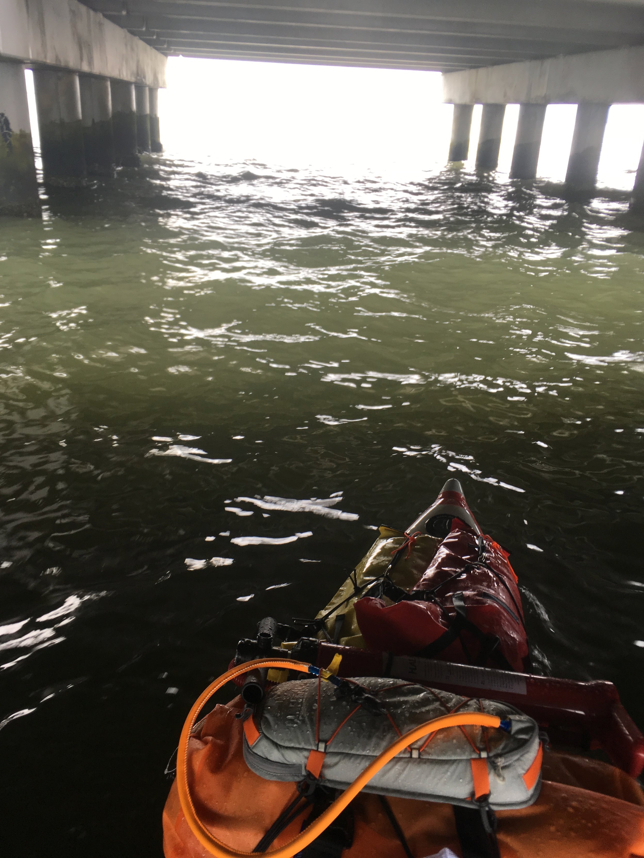
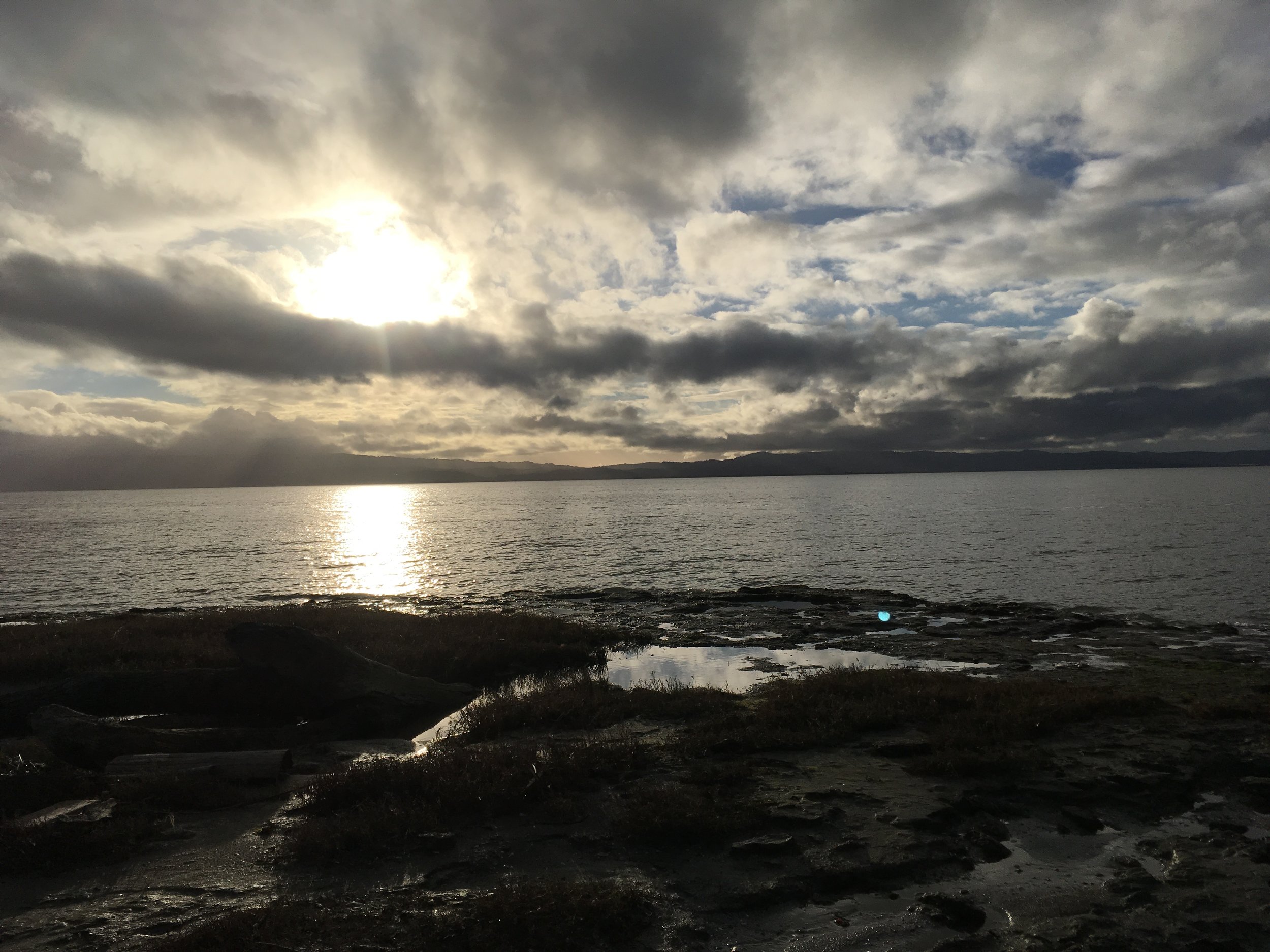
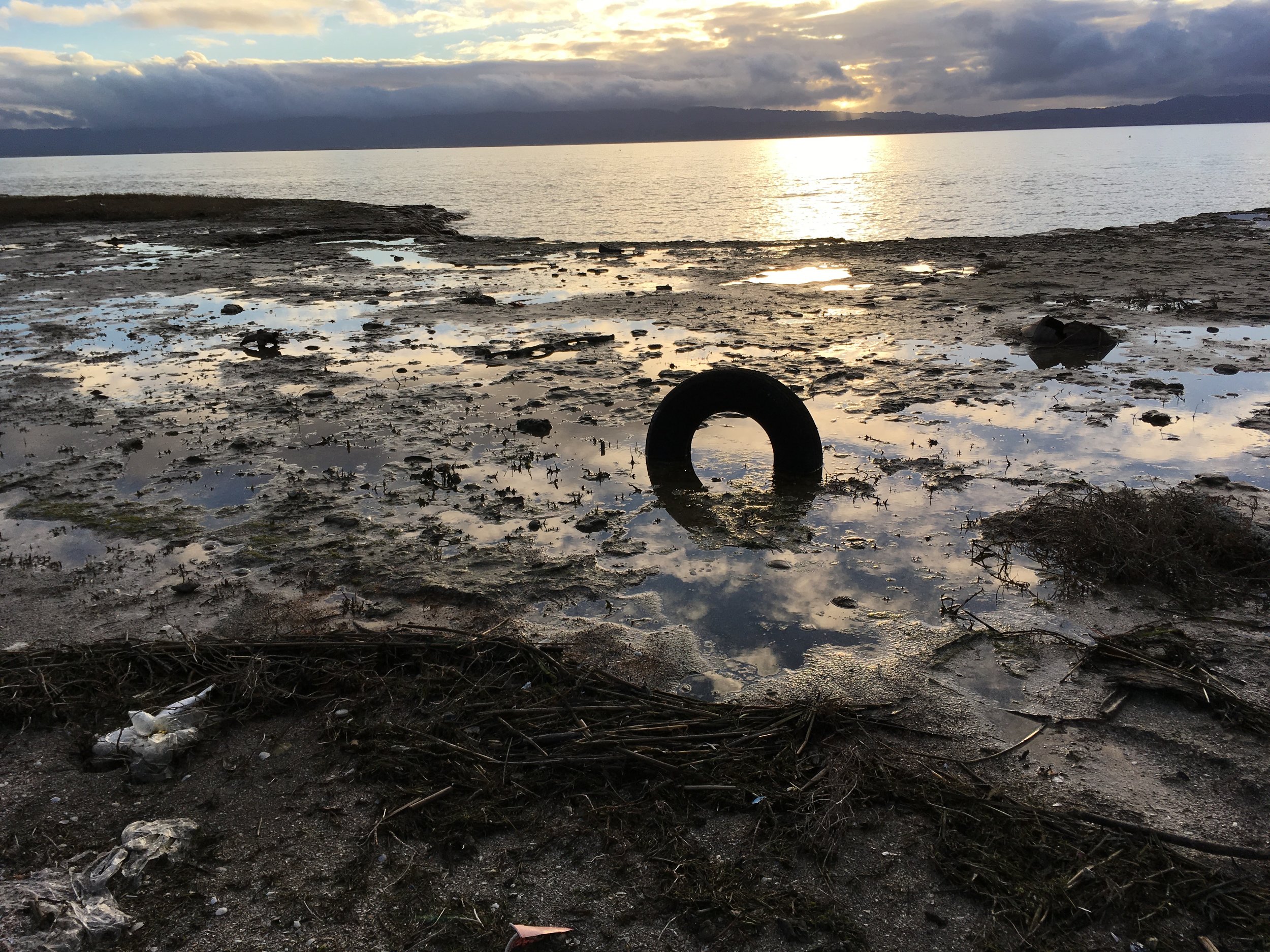
On this particular day of January 3rd, 2017, I had a rough day. The wind was heavy 10 to 12 knots in the morning and then it turned to 20-25 knots in the afternoon. It took me about 7 hours to paddle the 10 miles stretch. I left early breaking down camp and waded in the mud a few hundred yards before I could actually paddle. The morning paddle to Dumbarton Bridge was moderately difficult with fully loaded board, but still very manageable. The waves became big under the Dumbarton Bridge and I fell off the board trying to get on one of the pillars to take pictures, silly me. After that, even with me paddling full force at times with the gusts I was basically standing still or getting pushed back. The last mile before Cooley Landing was hellish with 20 knots and I barely made it. Wind shelter was very hard to find with the south wind, but I made by hiding behind the landing for the last few hundred yards. Sorry very few pictures as I couldn't stop paddling in the wind. Thankfully I had a little bit of help from the flood current and it was also helpful because the tide was rising and I didn't have to wade far for the take-out.

Conditions: 10-25 knots S/SW wind, high 40's/low 50's, Flood tide of 0.5 knots. 

Hazards: Besides the weather, the Dumbarton bridge and the two small bridges after that could be dangerous for novice/intermediates under bad conditions. The first small bridge after Dumbarton is a water pipe from Hetch Hetchy. The second one is totally defunct with wood pilings sticking out of the water. Some of the wood pilings have disintegrated just under the water during low tide, so it's easy to get your fin caught on the pilling. There are danger signs along the bridge, so take care. The other issue with paddling in the south bay is as always the low tide mud. Not really a problem but it could delay your trip thus putting you in an opposite tide or wind conditions, so make sure you check the wind, high/low tide and flood/ebb tide when you paddle there.

Put-in: It's extremely hard to find a good put-in point in the east bay south of Hayward. The best one I've found is where Alameda Creek meets one of the bridges but it will increase your paddle distance by several miles. I elected to camp instead.

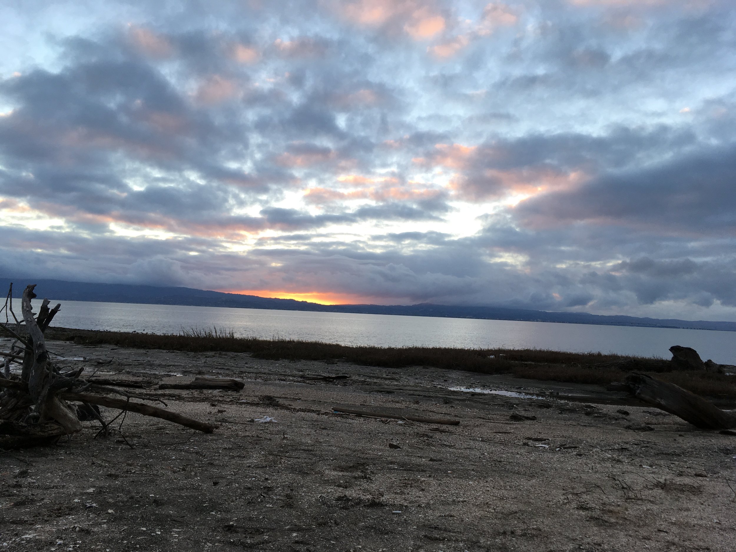
Take-out: Cooley Landing is a beautiful place on the bay. There's an orange wooden building that's dedicated for the East Palo Alto environmental education. The orange color is a great landmark. There are two parking lots and a porti-pottie as well. Kayaks and SUPs can land on the south side of the point, there's a small trail leading to the parking lot. If you can go to the south side, scrambling up the rocks by the point is also an option but be very careful. Some of the rocks have steel rebars, it wouldn't be fun falling onto one of those. Low tide is of course a problem there as well, anything less than 3-4 feet will present you with a long push off in the mud. Alternatively you can also land in the Baylands Nature Reserve. There's a large dock, water spigot and porta potty there and plenty of parking. It's a mile from Cooley Landing and just north of Hook's Point. The Palo Alto Airport is a good landmark for that take-out. My friend Gary Leong told me that some years ago some idiot engineers from Tesla tried to take off from the airport during heavy fog and flew into the power lines along the coast. But fortunately for paddlers, we can follow the power lines during fog and be able to spot the coast.


Day 2: San Leandro Marina to Don Edwards Wildlife Reserve 8 miles

From San Leandro down all the way on the east side of the South Bay, put-ins and take-outs are rare and hard to reach because there are so many wildlife reserves for birds. Camping is also prohibited by the US Fishing and Wildlife Service. If you want to see the wildlife, you can easily paddle along the coast before San Mateo Bridge, explore and return to San Leandro Marina.


On January 2, 2017, Stephanie Siaris and I paddled the stretch against some headwind to San Mateo Bridge, and I continued onto Don Edwards Wildlife Reserve while she paddled back on her OC. Stephanie paddled twice of the speed as my fully loaded inflatable SUP and looped around me probably 4 or 5 times. Click on the picture below to see the full map.

Conditions: It was a cold day in the low 50's and the wind was 10 knots S/SW. 

Hazards: There is very little boat traffic on this stretch. Paddling under San Mateo bridge can be a little intimidating because the tides/waves get constricted between the pillars, so best to paddle through the bridge with some speed. Or try to take a picture and fall in the water if it's warm. Low tides can also be an issue if you decide to pull over, it could be a several hundred yard grind in the muck before you can paddle.

Put-in: San Leandro Marina is a really nice marina with lots of parking. The public ramp and dock is on the south side of the marina. There's a port-pottie there also.

Take-out: It's extremely hard to find a good take-out point around here. The best one I've found is where Alameda Creek meets one of the bridges but it will increase your paddle distance by several miles. I elected to camp instead.

Camping: As previously mentioned camping is illegal along the wildlife reserves. But you could find a small seashell beach and camp using leave no trace principle while not disturbing any of the bird life. Be careful of the clay along shore, they can be very slippery during loading. Low tides are also issues as mentioned before.

Day 1: Mike's Paddle to San Leandro Marina 8 Miles

Mike's Paddle to San Leandro Marina is an old time favorites of many paddlers in the east bay. Shuttling is super easy, it's a relatively straight shot along the coast and plus you get to see a lot of planes flying over your head, cool! Click below picture to see a larger map.


On January 1st, 2007, Carlo Maravilla, Dan Siskind and I paddled this stretch. The conditions were about 10 knots N/NW wind with small bumps along the way. During the summer time, it's a great downwinder because you don't have to ferry too much into the channel and you can just cruise for 8 miles. Dan and Carlo went out a little bit farther out into the bay to catch some smoother bumps while I stayed on the inside conserving my strength for the next few days of paddling. 

Conditions: High 50's and 10 knots N/NW wind, slack tide. Normally the tides are not too strong, rarely do the tides go above 1 knot on ebb or flood. Summer time wind can be up to 25 knots which makes awesome waves.

Hazards: Channels are clearly marked going in and out of Ballena Isles Marina, Bay Farm Bridge, and San Leandro Marina. You are required to stay off the Oakland airport coast, there are buoys marking the boundary set by FAA. 

Put-in: You can put in at several points in Alameda. Encinal Ramp is a public ramp with free parking. The O Kelani Outrigger Canoe Club and Alameda Sailing Club are situated there. The ramp can be slippery while the docks have been removed and being renovated. There's a port-potti. Mike's Paddle is a great location (if I might say so myself), we have indoor bathrooms and nice docks. You can also rent downwind or touring boards here. We can also setup a shuttle for you to pick you up at San Leandro Marina. The last place would be Crown Memorial beach just south of Mike's Paddle. Watch out for low tide though, it could be a 300 yard trek through the muck.

Take-out:  San Leandro Marina is a really nice marina with lots of parking. The public ramp and dock is on the south side of the marina. There's a port-pottie there also.


Schedule of the Paddles!

I'm so excited to announce that all the paddling days have been scheduled! I am hoping that people will join me for as many days as possible. Paddling with other people is so much better than paddling alone!

1/1/2017 Mike's Paddle to San Leandro Marina -  8 Miles

1/2/2017 San Leandro Marina to Jarvis Landing in Newwark - 8.5 Miles

1/3/2017 Jarvis Landing in Newark to Cooley Landing, Palo Alto - 11.2 Miles

1/4/2017 Cooley Landing, Palo Alto to Alviso Boat Ramp, Alviso - 9.5 Miles

1/5/2017 Alviso Boat Ramp to 101 Surf Sports in Redwood City - 16.6 Miles

1/6/2017 Break

1/7/2017 101 Surf Sports in Redwood City to Coyote Point Yacht Harbor- 10 Miles

1/8/2017 Coyote Point Yacht Harbor to Oyster Point Point Marina - 7 Miles

1/9/2017 Oyster Point Marina to McCovey Cove, San Francisco - 10 Miles

1/10/2017 McCovey Cove, San Francisco to Kirby Cove - 9 Miles

1/11/2017 Kirby Cove to Bluerush, Sausalito - 5 Miles

1/12/2017 Break

1/13/2017 Bluerush, Sausalito to Angel Island - 5 Miles

1/14/2017 Circumnavigate Angel Island - 5 Miles

1/15/2017 Angel Island to 101 Surf Sports in San Rafael - 9 Miles

1/16/2017 Break

1/17/2017 Break

1/18/2017 Break

1/19/2017 101 Surf Sports in San Rafael to Outback Adventures, San Rafael - 8 Miles

1/20/2017 Outback Adventures, San Rafael to Blackpoint Boat Launch, Novato - 8 Miles

1/21/2017 Blackpoint Boat Launch, Novato to Somewhere San Pablo Bay Wildlife Refuge - 8 Miles

1/22/2017 Somewhere San Pablo Bay Wildlife Refuge to Vallejo Yacht Club - 10 Miles

1/23/2017 Break

1/24/2017 Break

1/25/2017 Vallejo Yacht Club to Point Pinole Regional Shoreline Park - 5 Miles

1/26/2017 Point Pinole Regional Shoreline Park to Point Richmond Marina - 13 Miles

1/27/2017 Point Richmond Marina to Emeryville Marina - 7 Miles

1/28/2017 Emeryville Marina to Treasure Island Sailing Center - 4 Miles

1/29/2017 Circumnavigate Treasure Island and Yerba Buena Island -  5 Miles

1/30/2017 Treasure Island to Grant Street Marina, Alameda - 7 Miles

1/31/2017 Grant Street Marina, Alameda to Mike's Paddle - 7 Miles