Day 9: Crissy Field to Sausalito 5 miles

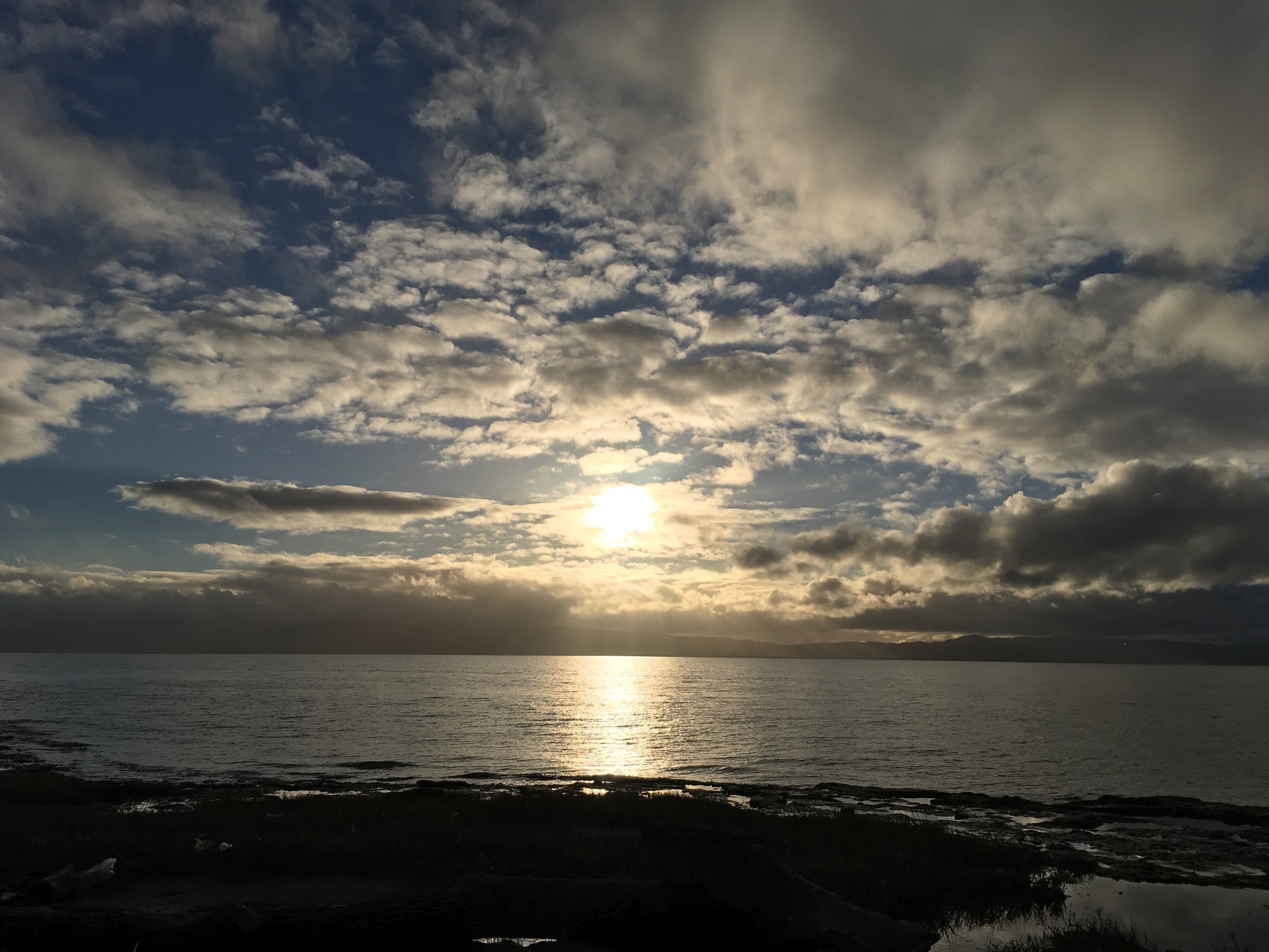
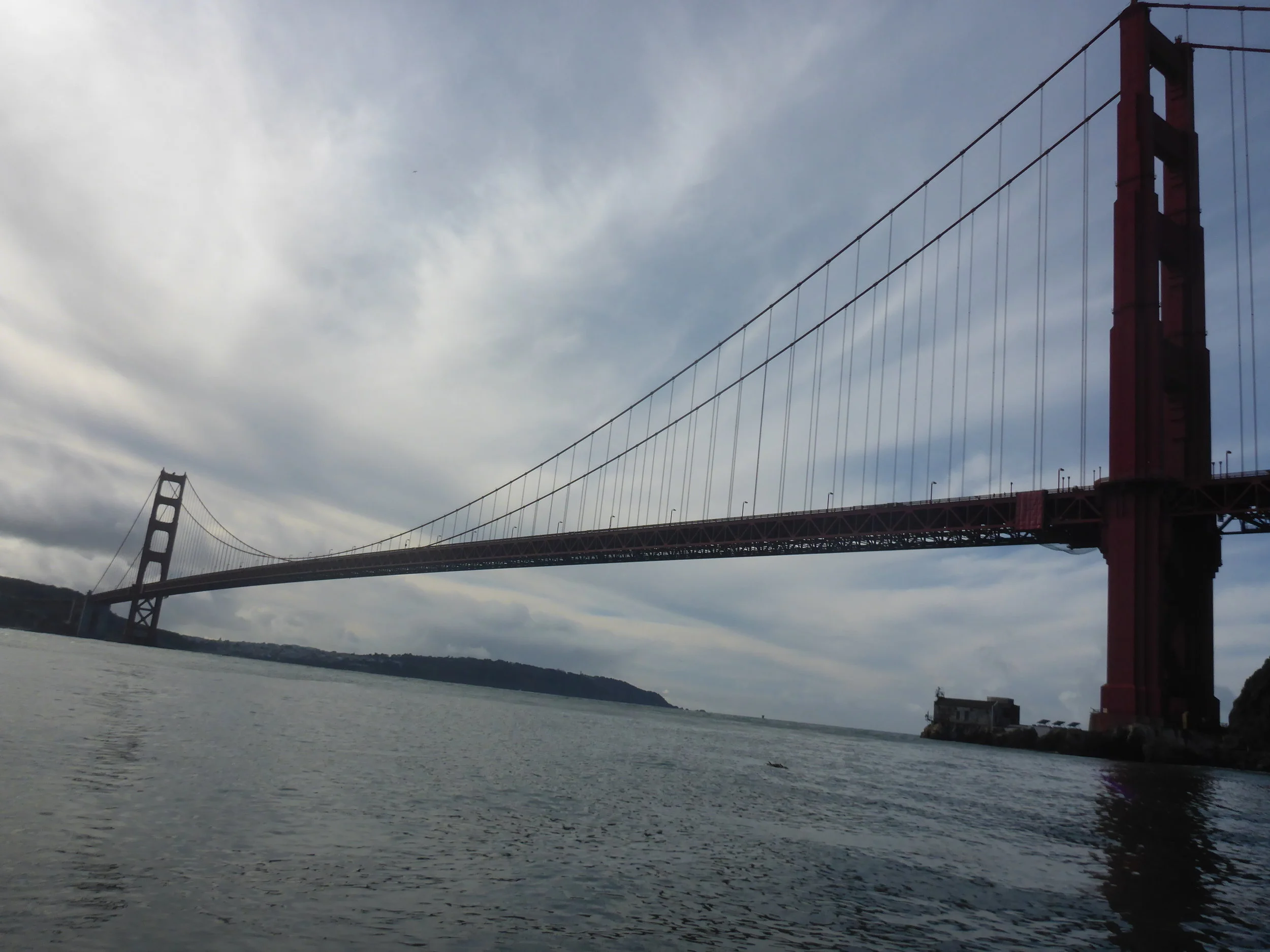
Amazing views and very challenging paddling! Paddling around the Golden Gate Bridge is always an undertaking but if you have the right experience and conditions, it's worth every stroke. The views of the pacific ocean through the Golden Gate is timelessly classic, the Marin headlands is green and gorgeous and really, very few people can say that they have paddled under the bridge. 


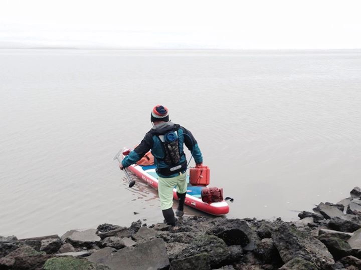
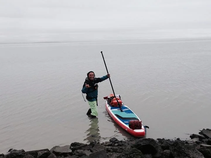
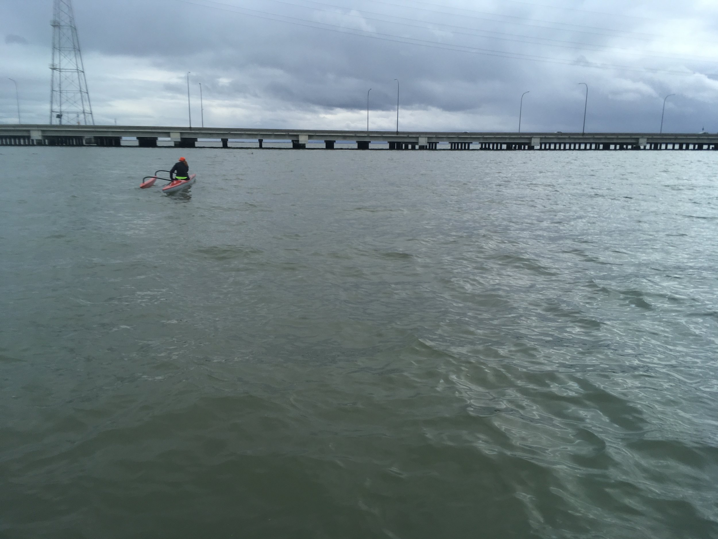
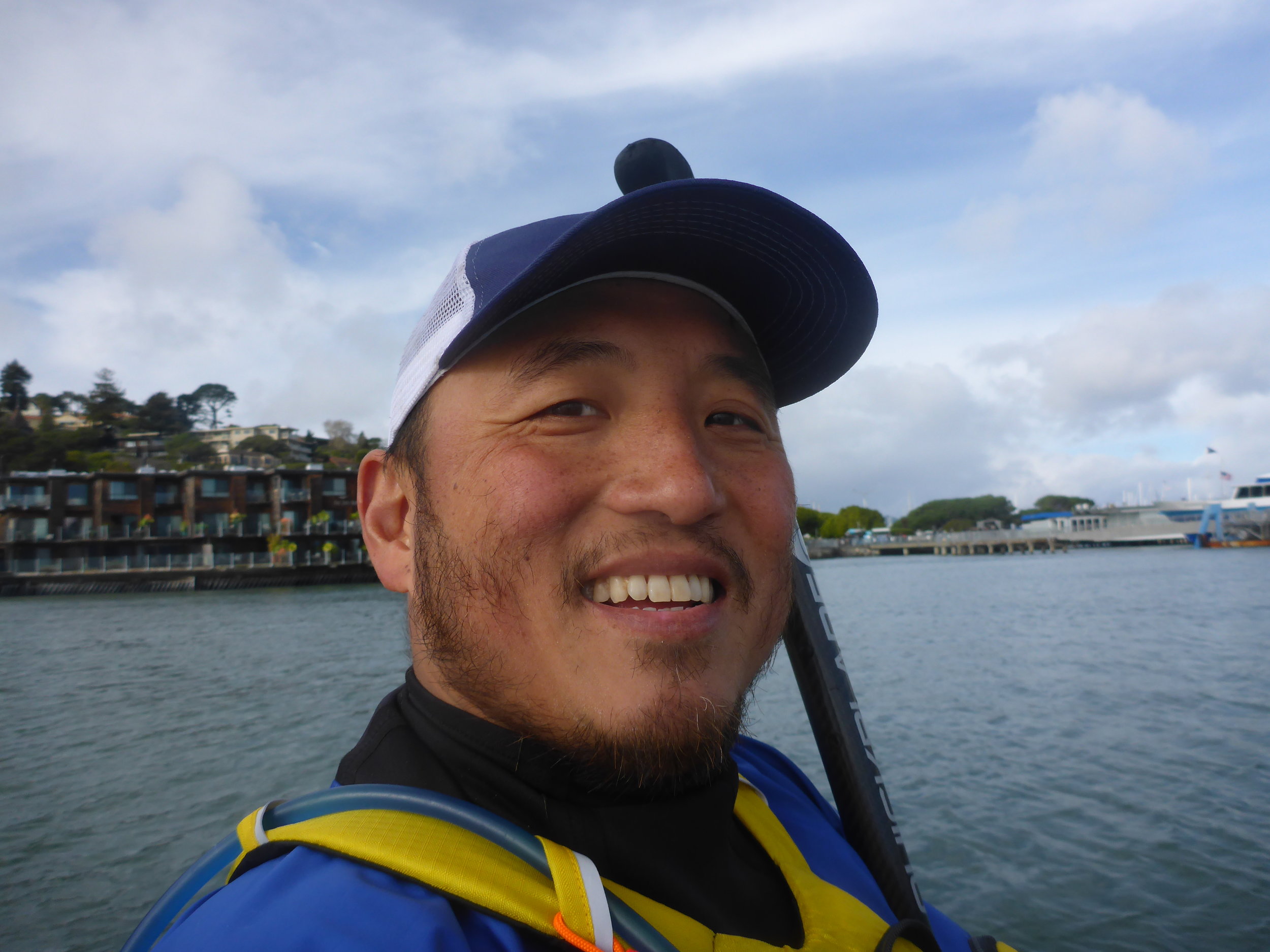
On January 10th, 2017, I paddled from Crissy Field to Sausalito alone. It was psychologically and technically challenging to do it by yourself. I had paddled in the area many times in various crafts, but doing it by yourself increase the risk quite a bit. There was a break in the storm and the weather had turned sunny. The wind was blowing from the west at 10 mph, which wasn't much but just to be safe I made the following plan. I waited until the tide was flooding so that if anything happened I would get pushed into the bay. I also waited until the flood tide was receding so I can paddle agains the tide and wind. Several other options were considered: if the wind was too strong, I would paddle to Angel Island and wait till the tide was ebbing so I can slingshot around Angel Island. If I couldn't paddle agains the flood tide or wind, I can always paddle back to safety at Crissy Field, Aquatic Park or other parts of San Francisco waterfront.

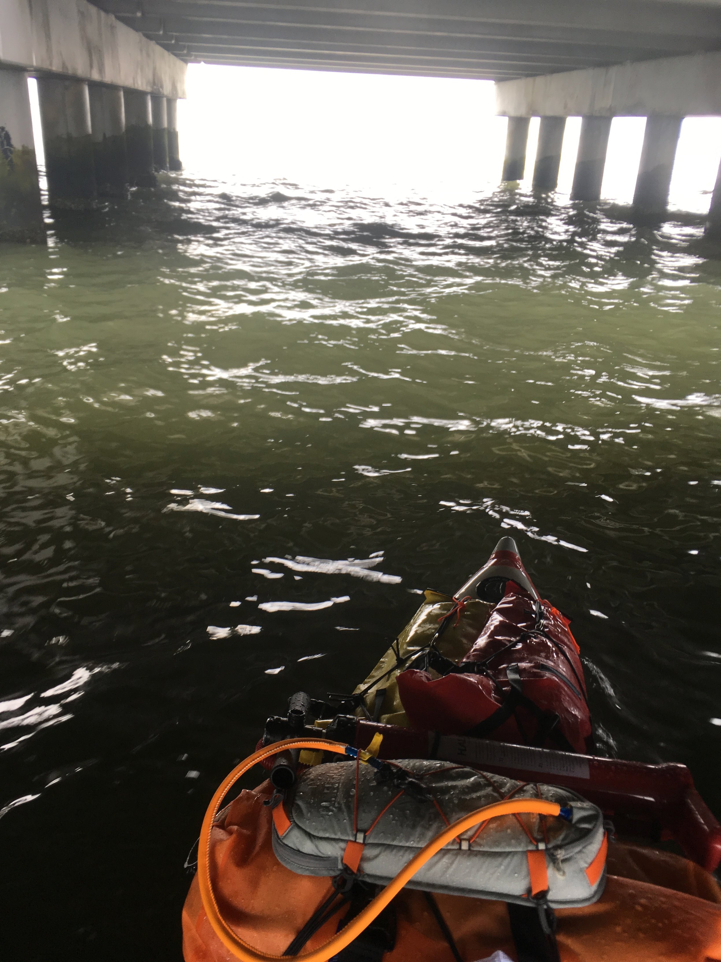
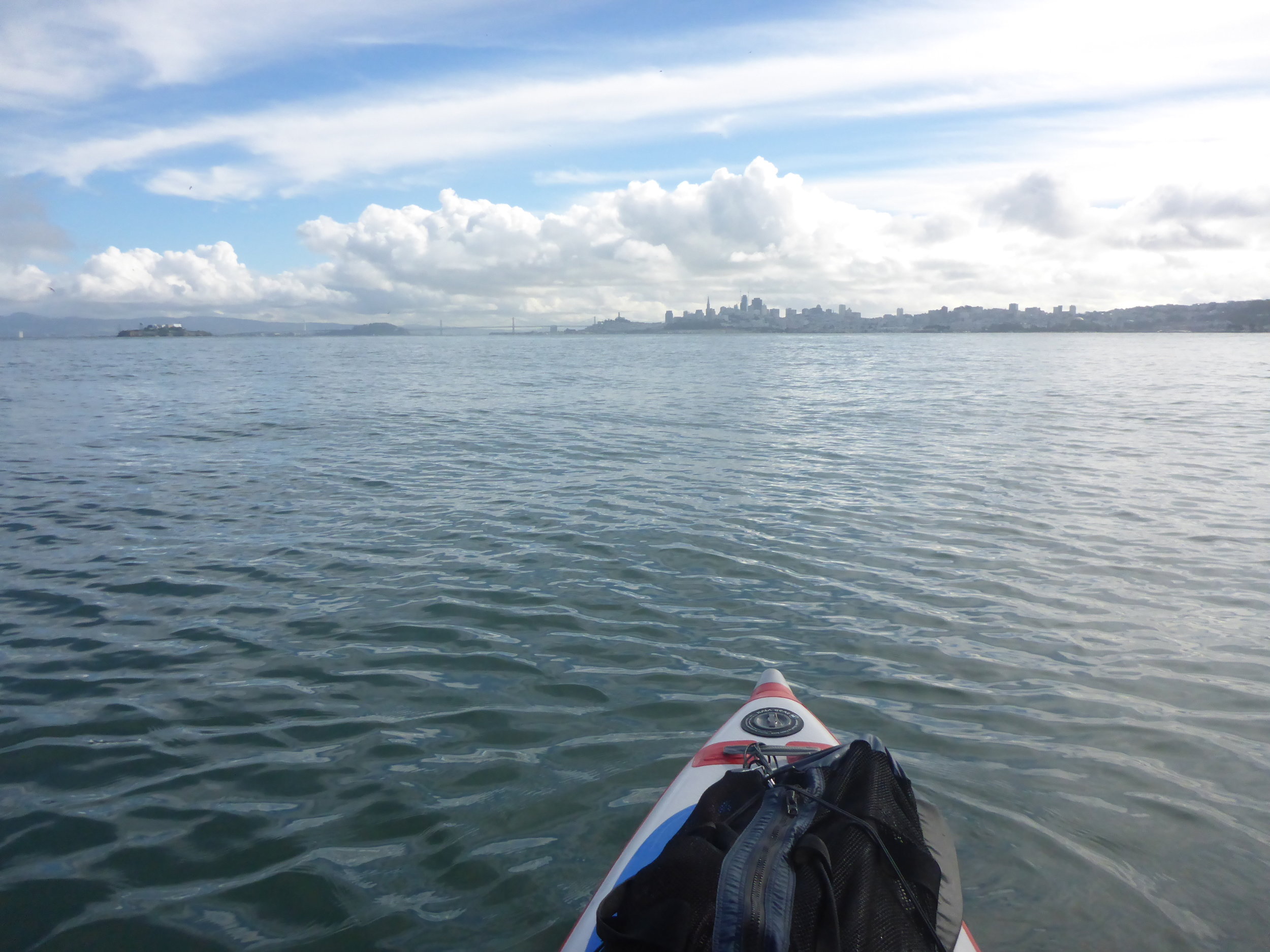
It turned out that neither the wind nor the current was that strong, so I was able to make it to the south tower of the bridge relatively easily. I checked the tanker schedule and made sure I cross the channel between two big tankers leaving the bay. The tankers kicked up 4 foot waves and made of mess of things so I paddled on my knees part of the time. All told, it only took me 45 minutes to cross the Golden Gate but it was exciting to say the least. 

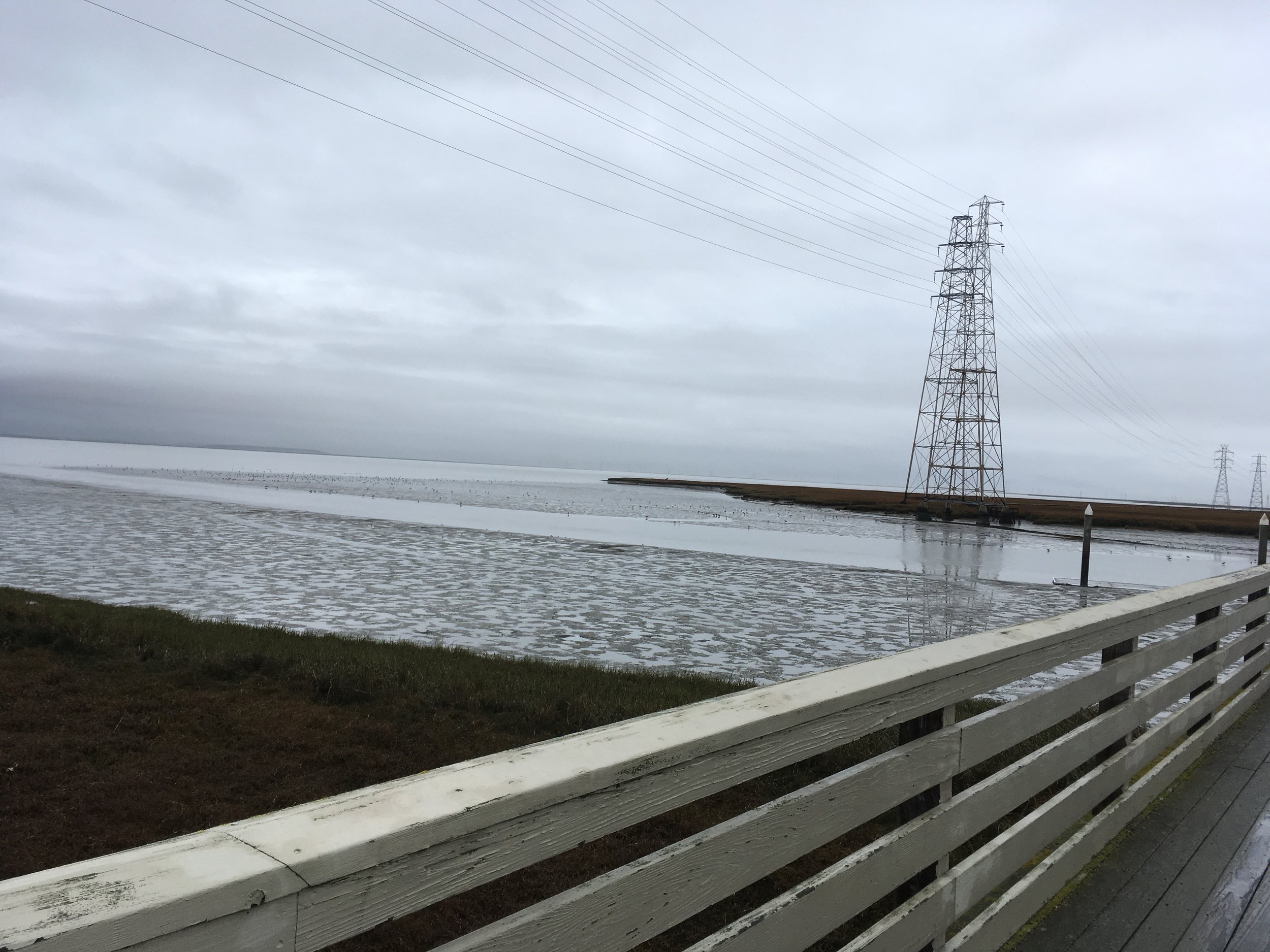
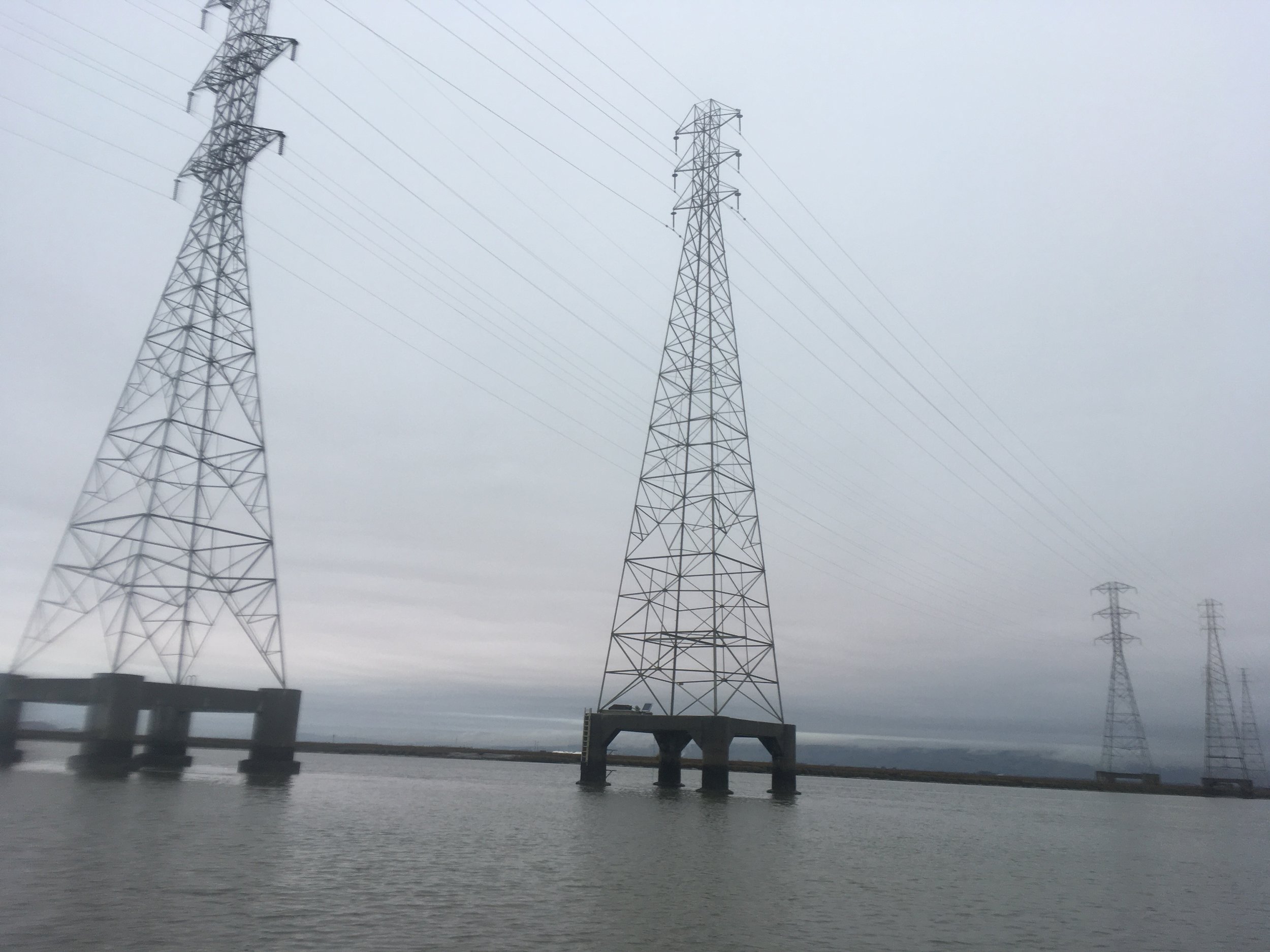
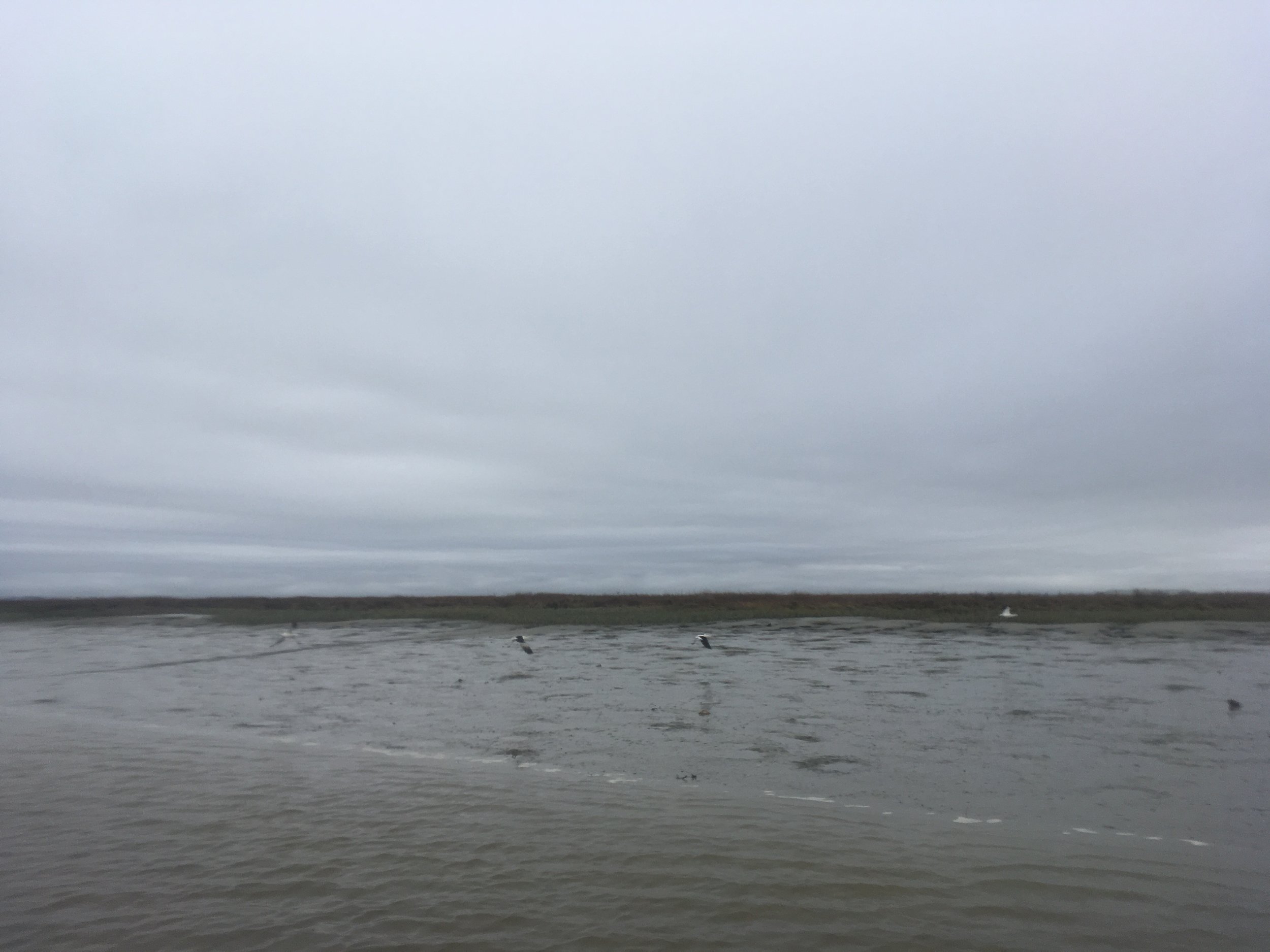
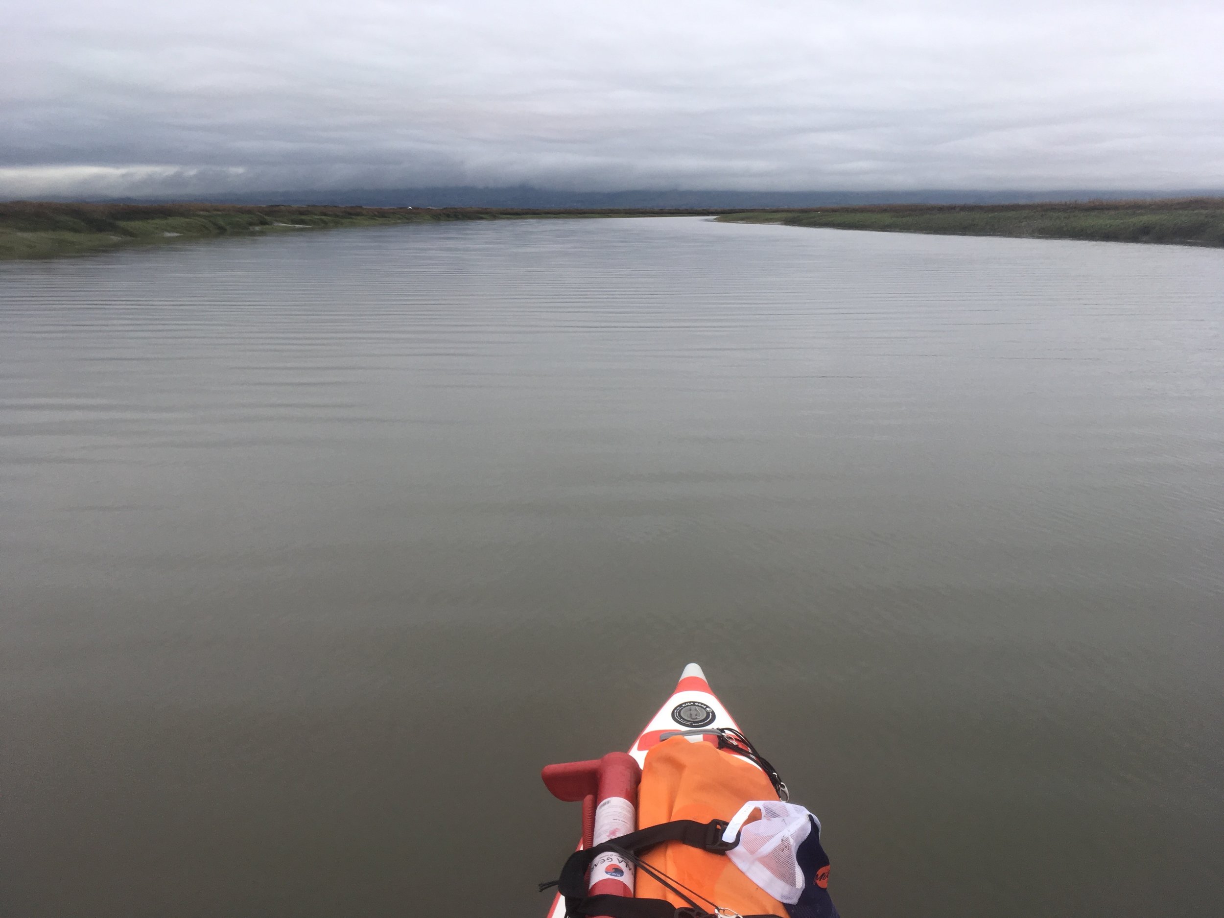
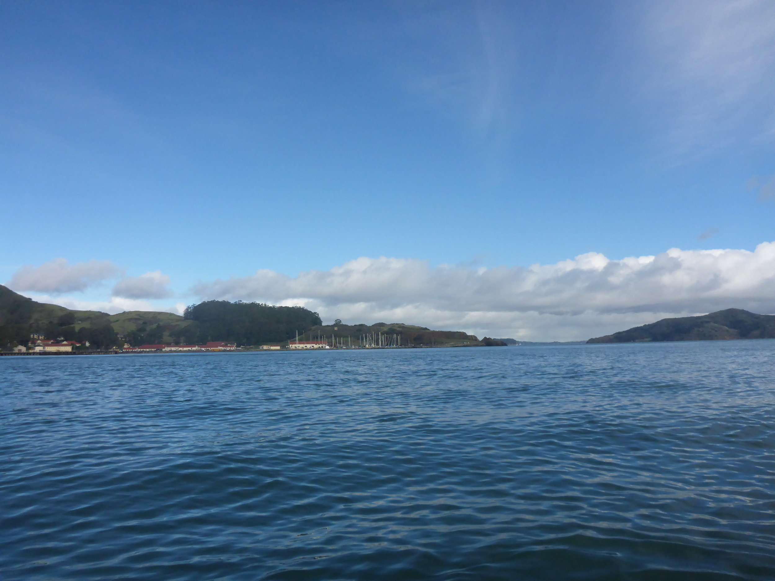
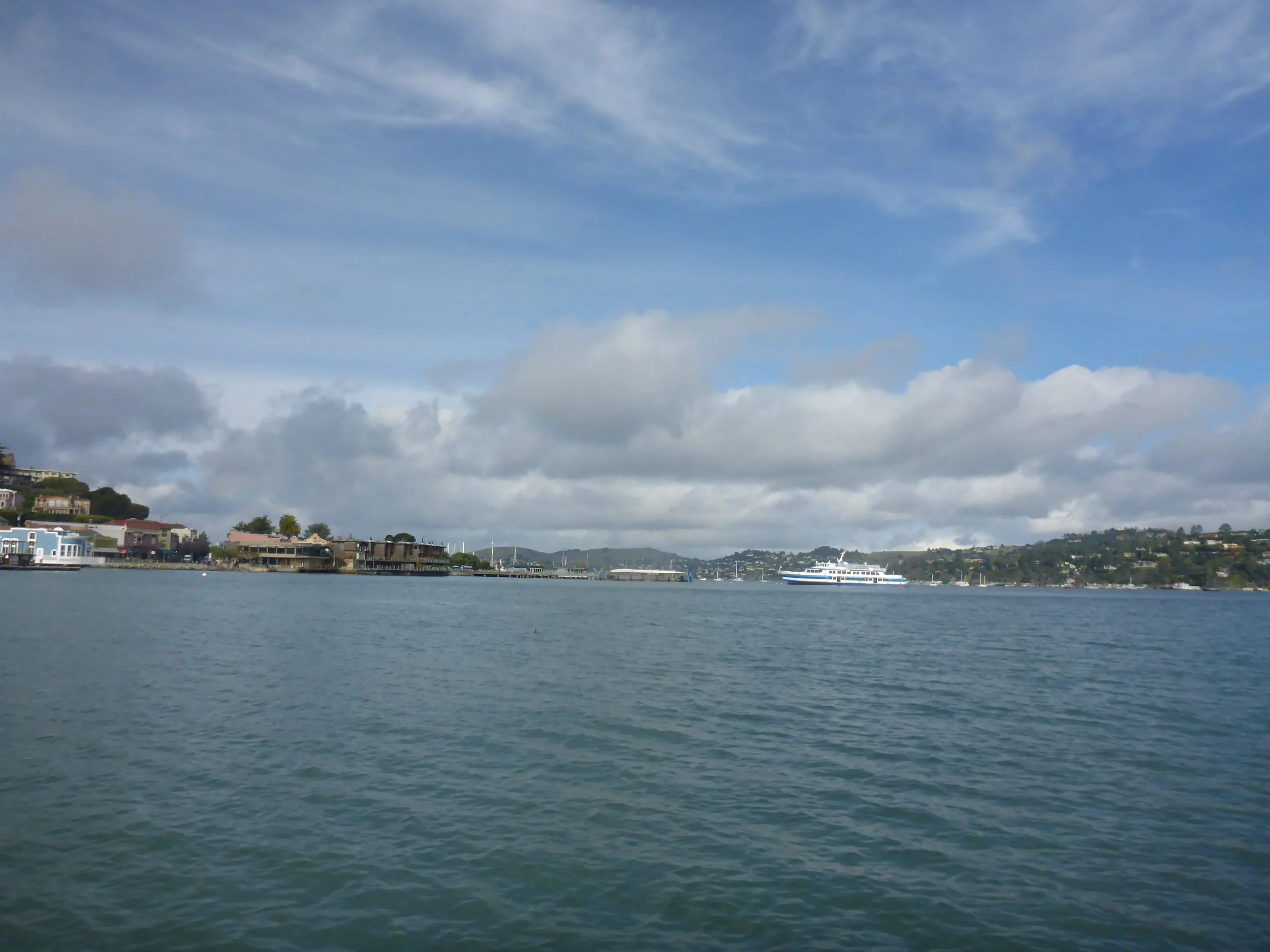
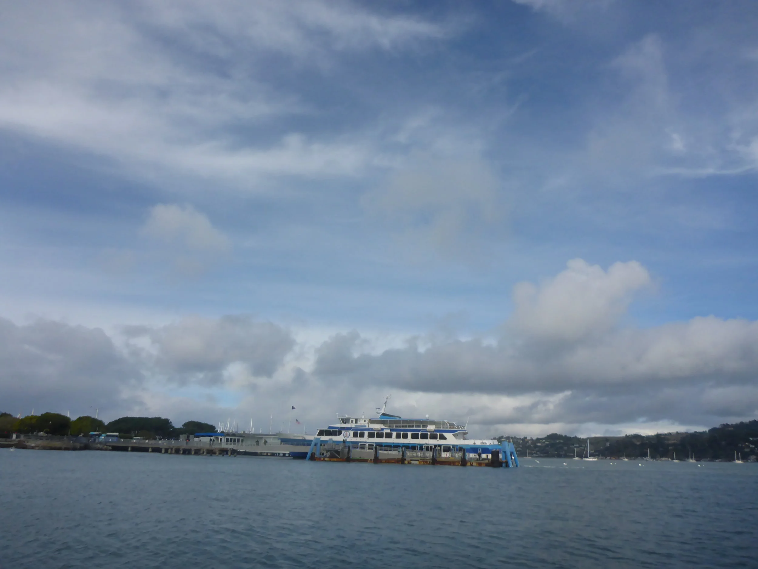
Once I got to Fort Baker, it was easy pickings. Paddling around Yellow Bluff is always fun because there are some great standing waves there. It's a nice park and play area to paddle between Fort Baker and Yellow Bluff to surf. The rest of the paddle was uneventful, although you do have to watch out for the Sausalito Ferry and hold your nose when you pass by the Sausalito Sewage Treatment Plant.

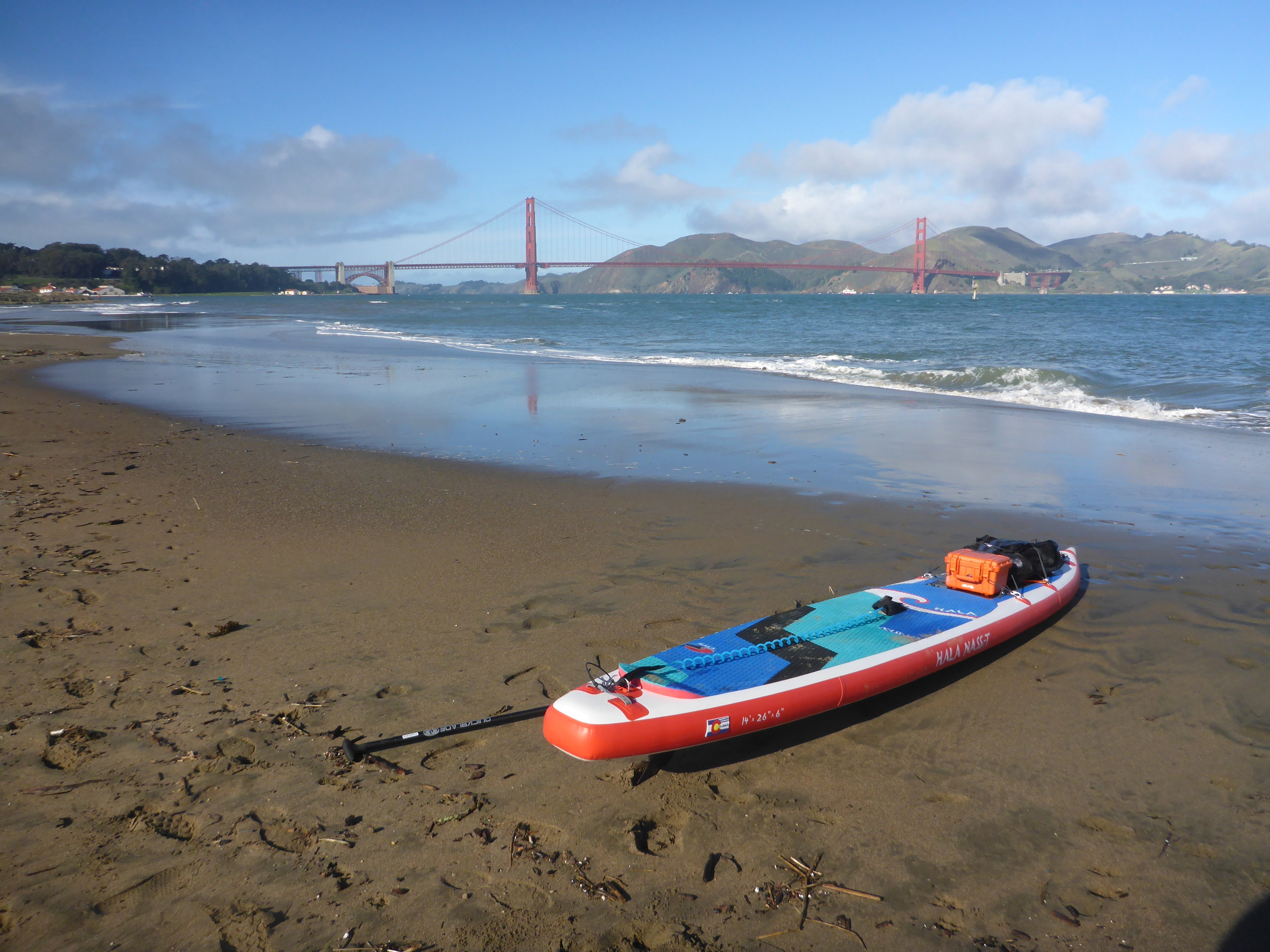
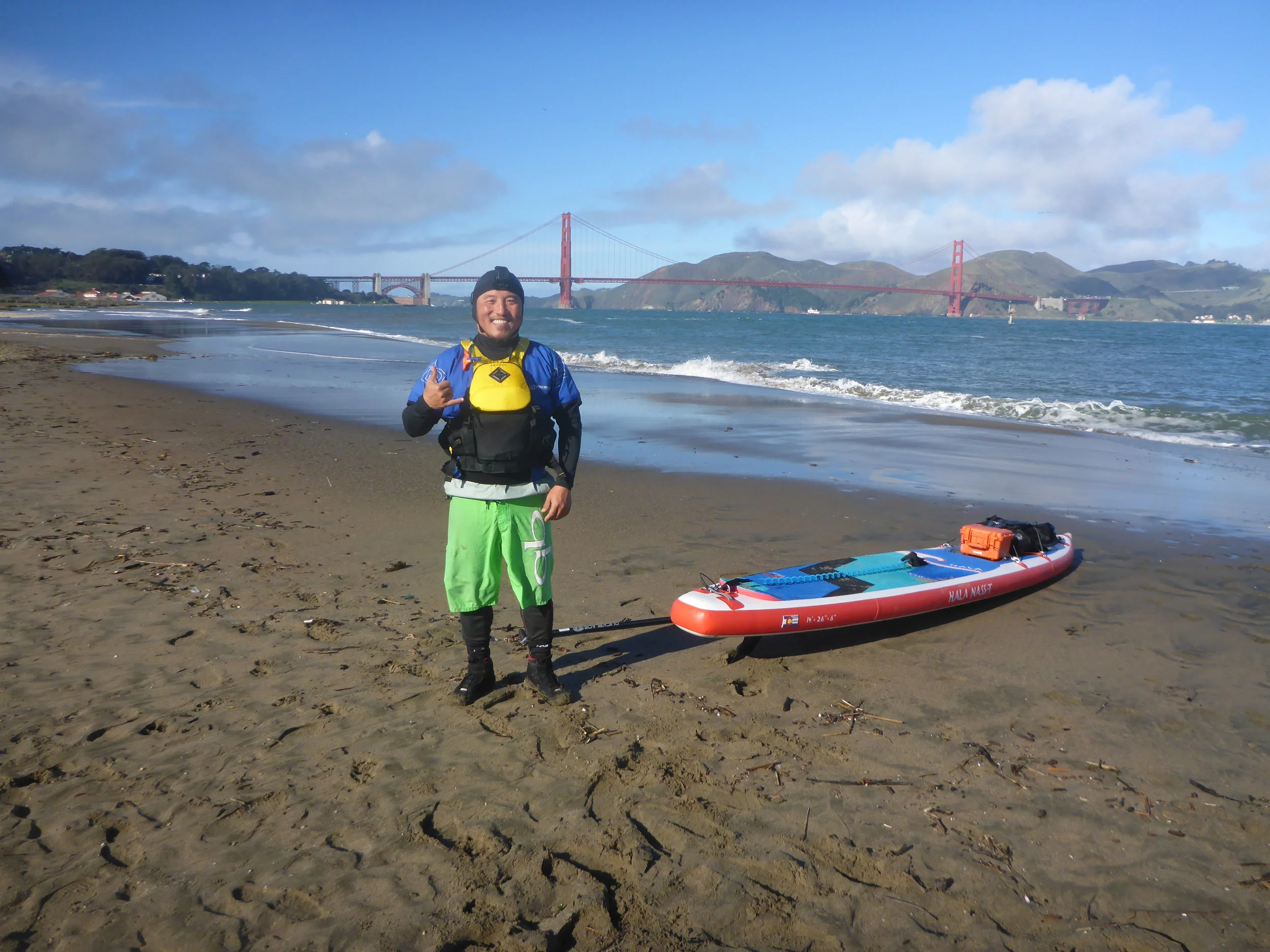
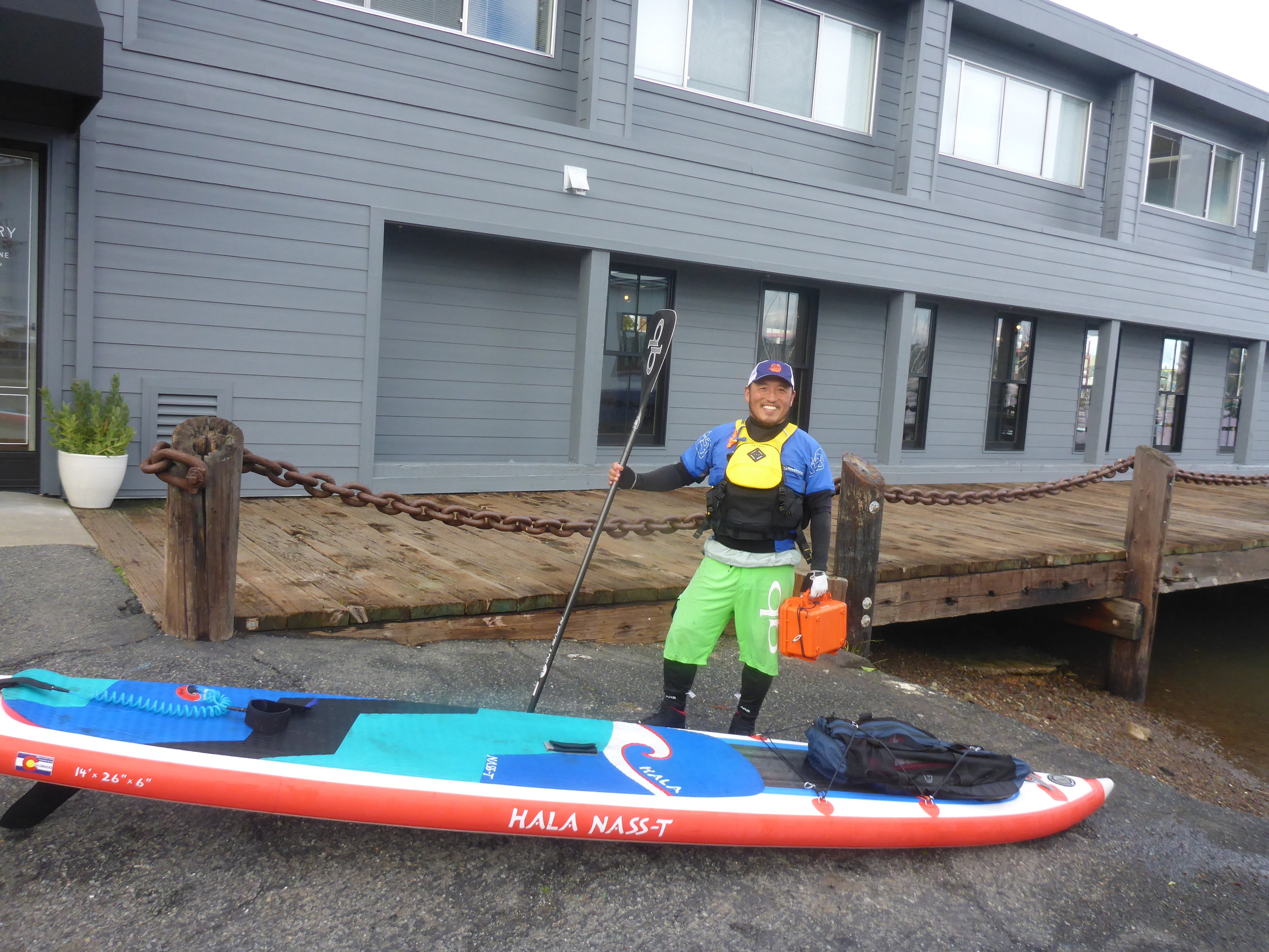
Put-in: Crissy Field is a great place for paddlers. The SFOCC (San Francisco Outrigger Canoe Club) has a location at Sports Basement parking lot and they have regular practices there. The beach is friendly to both kite/wind surfers and paddlers. 

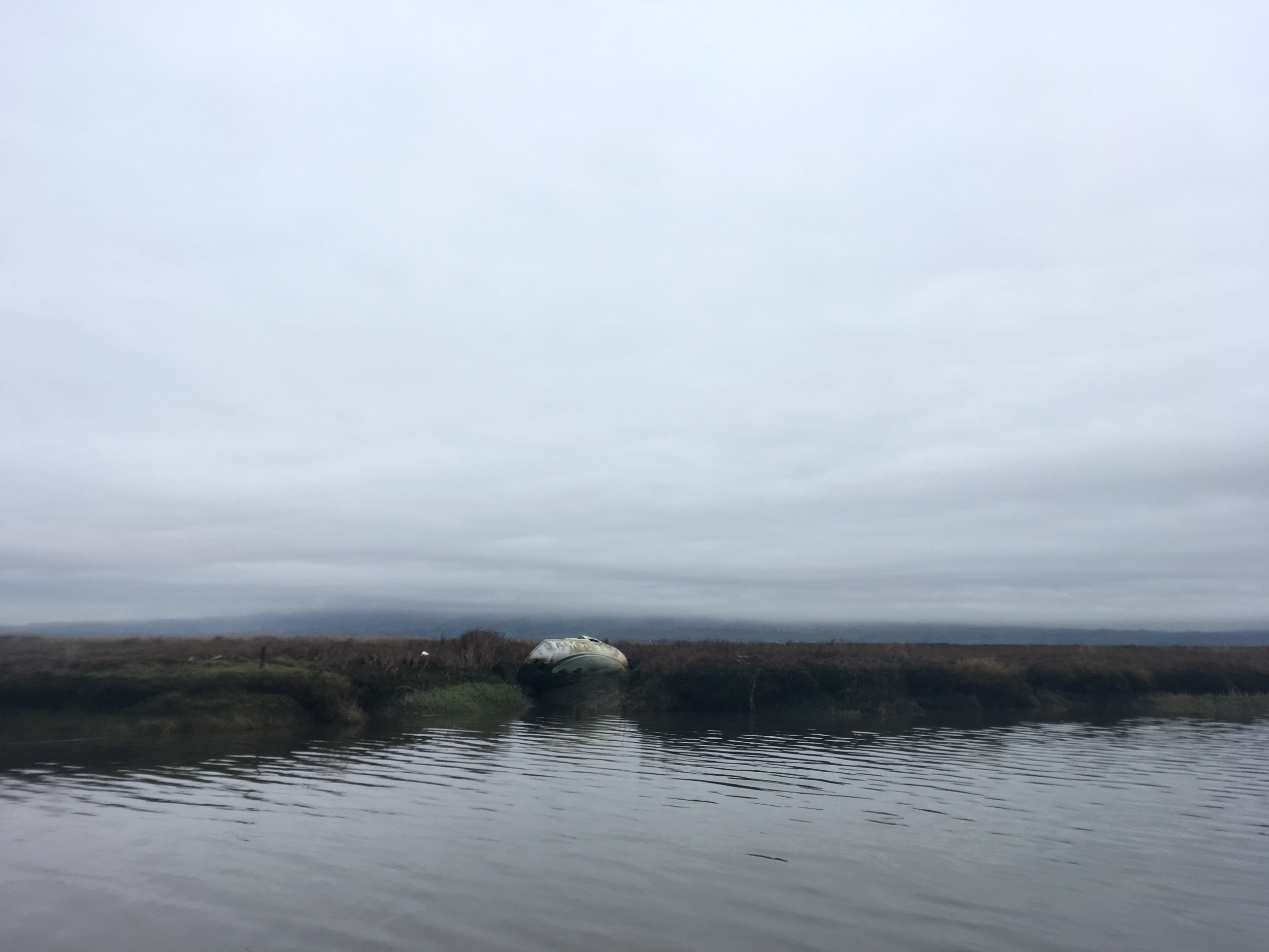
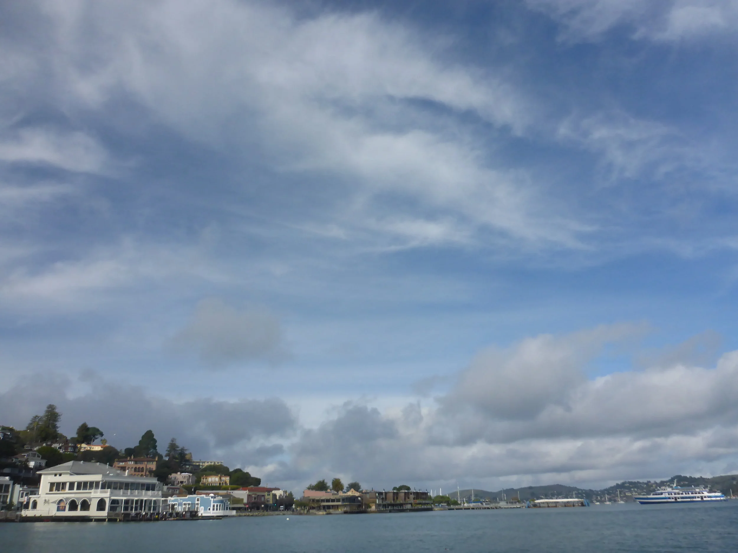
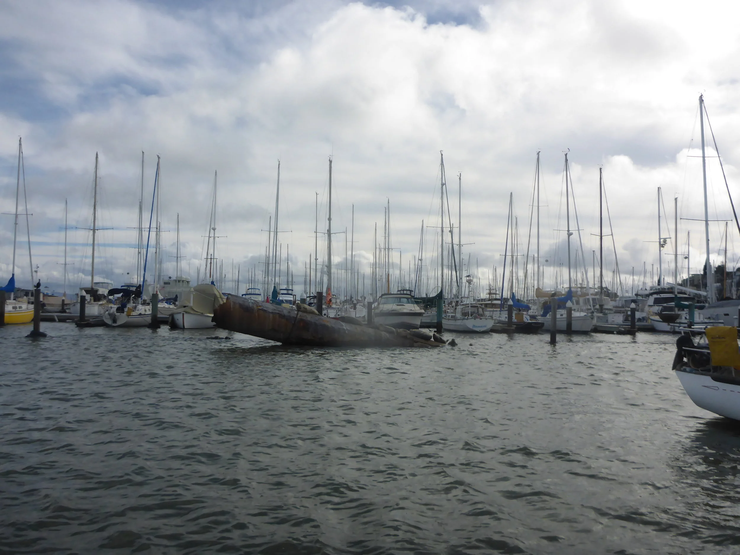
Take-out: There are multiple places to put-in at Sausalito. There's a public ramp next to the restaurant Salito/Bar Bocce - parking can be difficult to find there. There's the public Dumphy Park and a nice little beach favored by kayakers and paddlers. There's also another public beach and a dock near the Bay Model. 

Day 8: Mission Creek to Crissy Field 7 Miles

San Francisco waterfront can be an intimidating place to paddle for beginners/intermediates. There is a lot of fast boat traffic especially in the summer. There are two ferry terminals and a cruise ship terminal. The cityscape and the Bay bridge are amazing to look at but be careful of all the boat traffic around you. With that said, I've had many great experiences paddling around San Francisco and there are a lot of places to pull over if you are overwhelmed. 


On January 9th, 2017, I paddled this stretch with plenty of rain and south wind. Storm-armageddon was back and I was a little concerned of my plan to paddle to Kirby Cove outside of the Golden Gate to camp there. Plus it was gonna be a sog-fest camping anyway. So I cut the plan short and paddled to Crissy Field instead. That turned out to be a great idea except the south wind along the northern city front was pushing me out into the bay and I had to fight pretty hard to stay close to the coast. Also since I paddled with the receding ebb, it gave me an extra push so all told it only took me a couple of hours. 

Hazards: Where to start? In addition to what I mentioned on top of the page, you have to really understand tide currents and wind because now you're in serious open bay conditions. There are tankers, ferry boats, tug boats, speed boats, kite surfers, wind surfers, coast guards, surfers around Ford Point, etc etc... A missed calculation can put you at serious risk in terms of the ebb tide taking you out out of the Golden Gate. If you don't know how to negotiate any of the topics mentioned above, paddle with someone with experience or take a class. Just because you know how to paddle a board doesn't mean you know how to handle yourself in these conditions. 

Put-in: Mission Creek or Mission Bay has several places where you can land. The Ramp (the restaurant) is a great place to land and have lunch. There's a public ramp at Bay View Boat Club which is nice (no bathroom), but you'll need to read the parking signs carefully due to the Giants schedule. Another great ramp is at the end of Mission Creek along Berry Street. There's a public bathroom there and also a boat house that belongs to UCSF. Parking is sparse though. On top of that, there's plans for the Warriors to move their stadium over to Mission Bay in the near future, so definitely forget about parking when that happens.

Take-out: Crissy Field is a great place for paddlers. The SFOCC (San Francisco Outrigger Canoe Club) has a location at Sports Basement parking lot and they have regular practices there. The beach is friendly to both kite/wind surfers and paddlers. 


The storm is coming and I'm going paddling! 1/7/2017 to 1/12/2017

The winter pineapple express is here! Wind, rain, flash food, and total mayhem! I'm ready though for the next 10 days as the storm is blowing south wind and luckily I'm going the same way! Per the national weather service:

"So far, little change is seen on incoming model data. Rain is expected to begin this evening, and winds are expected to ramp up as well. The initial burst of rain is only a pre-cursor and not
directly associated with the atmospheric river. Expect periods of rain on and off Saturday but generally light to moderate in intensity."

"A high wind watch has also been posted for the area hills starting at 4 am Saturday and lasting
through Sunday morning. Model data shows strong southerly winds at 925 mb in the strong warm advection pattern. Wind gusts from 50 to 60 mph in the coastal hills will be possible. Wind will likely lull for a time Saturday afternoon but then wind speeds are expected to ramp up again Saturday night and Sunday morning as the next wave moves onshore."

Saturday, we're paddling from Redwood City to Coyote Point and Sunday Coyote Point to Oyster Point. Hopefully we'll get some good waves! 1/10/17 and 1/11/17 are still undecided, I may not end up going all the way to Kirby Cove. It could be a long paddle all the way to Sausalito on 1/10 depending on the weather.

1/7/2017 101 Surf Sports in Redwood City to Coyote Point Yacht Harbor- 10 Miles

1/8/2017 Coyote Point Yacht Harbor to Oyster Point Point Marina - 7 Miles

1/9/2017 Oyster Point Marina to McCovey Cove, San Francisco - 10 Miles

1/10/2017 McCovey Cove, San Francisco to Kirby Cove - 9 Miles

1/11/2017 Kirby Cove to Bluerush, Sausalito - 5 Miles

1/12/2017 Break

Day 5: Cooley Landing to Redwood City 8 Miles

The west side of the South Bay and Peninsula is a fun place to paddle with lots of wildlife reserves as well as marinas for landing. After crossing the Dumbarton bridge, a panoramic view of the south bay and east bay is fantastic. On a clear day, you can see all of the peninsula, Marin headlands, Mount Tam, San Francisco, Emeryville, Oakland, Mount Diablo and the rest of east bay. It's so panoramic it looks like a wide-angle go-pro shot. Click below picture to see an expanded map.


On January 5th, 2017, I tried to put on early but I spaced out and left my paddle in the lyft car that brought me to Cooley Landing. So I had to wait another hour until my driver dropped off the paddle, thankfully! By then the wind had kicked up a little bit and the tide was going out. So another mud wading for me. It was very shallow even a mile away from shore and I quickly developed a paddling stroke using the mud. As I paddled towards Redwood City, a good landmark are the blue buildings occupied by Bio Tech firms in Redwood City. There's a small opening before the main channel into Redwood City just around Greco Island, but you can also just paddle on and turn west. Lots of birds life as usual along the coast.

Put-in: Cooley Landing is a beautiful place on the bay. There's an orange wooden building that's dedicated for the East Palo Alto environmental education. The orange color is a great landmark. There are two parking lots and a porti-pottie as well. Kayaks and SUPs can land on the south side of the point, there's a small trail leading to the parking lot. If you can go to the south side, scrambling up the rocks by the point is also an option but be very careful. Some of the rocks have steel rebars, it wouldn't be fun falling onto one of those. Low tide is of course a problem there as well, anything less than 3-4 feet will present you with a long push off in the mud. Alternatively you can also land in the Baylands Nature Reserve. There's a large dock, water spigot and porta potty there and plenty of parking. It's a mile from Cooley Landing and just north of Hook's Point. The Palo Alto Airport is a good landmark for that take-out. My friend Gary Leong told me that some years ago some idiot engineers from Tesla tried to take off from the airport during heavy fog and flew into the power lines along the coast. But fortunately for paddlers, we can follow the power lines during fog and be able to spot the coast.

Take-out: Redwood City has multiple marinas, but some of them are private and will absolutely refuse small boaters to put-in and take out. The public ramp situated next to the Stanford Sailing and Rowing Center is the quickest access to the water. I find that the south end of the center with the small boats is best for SUPs (see below picture).  

Day 4: Cooley Landing to Alviso Boat Ramp 10 miles

San Francisco Bay south of Dumbarton Bridge, I guess we call it the South Bay (not sure there's another official name, I can't find it anywhere), is a fantastic place to paddle if you can figure out the tides. It's very calm here and it has a lot of wildlife due to all the nature reserves. The Alviso slough and nearby Coyote Creek are sheltered and great for beginners. The water could look dirty due to the mud, but there's fresh bay water coming in and out every day.


On January 4th, 2017, I got up early and got on the water. The tide was low so I had to push off about 100 feet before I could paddle. It was on the tail end of a storm so in the morning a heavy fog bank settled all over the bay. It was impossible to see any landmarks so I had to use a compass to see that the direction from Cooley Landing to Alviso was directly east (which is kind of counterintuitive because we're in the south bay). But once I set the course, I saw three buoys on the east side of the bay leading towards the Alviso slough. It was easy picking from there. Plus I saw a harbor seal in the bay which was a treat! As you paddle into the confluence of Alviso slough and Coyote Creek, the two sloughs separates at the power lines. Coyote Creek is the one on the north side and Alviso slough is on the south side. The slough is a fun place to hangout and look at wildlife also, on my paddle I saw retail hawks, blue herons, great egrets, and various other winter shorebirds.

Conditions: 5 knot N/NW wind, mid-50's, low tide and incoming flood tide of 0.5 knots. 

Hazards: Low tides of course can be a hazard because it's so shallow in the south bay, if you get on the water at the wrong time, you could be wading through mud for hours or waiting for a couple of hours for the tides to go up. There isn't a lot of boat traffic usually but Alviso boat ramp service a lot of south bay fishing and hunting boats. Just after I landed, a fully rigged hunting boat with camouflage tule weed was going 30mph in the slough, I'm glad I didn't meet this guy on the water. 

Put-in: Cooley Landing is a beautiful place on the bay. There's an orange wooden building that's dedicated for the East Palo Alto environmental education. The orange color is a great landmark. There are two parking lots and a porti-pottie as well. Kayaks and SUPs can land on the south side of the point, there's a small trail leading to the parking lot. If you can go to the south side, scrambling up the rocks by the point is also an option but be very careful. Some of the rocks have steel rebars, it wouldn't be fun falling onto one of those. Low tide is of course a problem there as well, anything less than 3-4 feet will present you with a long push off in the mud. Alternatively you can also land in the Baylands Nature Reserve. There's a large dock, water spigot and porta potty there and plenty of parking. It's a mile from Cooley Landing and just north of Hook's Point. The Palo Alto Airport is a good landmark for that take-out. My friend Gary Leong told me that some years ago some idiot engineers from Tesla tried to take off from the airport during heavy fog and flew into the power lines along the coast. But fortunately for paddlers, we can follow the power lines during fog and be able to spot the coast.

Take-out: Alviso Boat Ramp is a great place for all kinds of boats. There are low and high docks as well as a ramp. There's a water spigot and bathrooms. Watch out for the green lawn next to the water spigot, it's for pets not for boards. 

Day 3: Don Edwards Wildlife Reserve to Colley Landing in East Palo Alto 10 Miles

Crossing the Bay can be really fun or really miserable depending on the conditions, but a must do if you want to be more adventurous on a SUP. Typically summer winds are N/NW so crossing from east to west can be challenging. Winter time S/SW is even harder if you're paddling from towards SW. Learn how to paddle efficiently on one side or using a SUP with a rudder is critical for open bay crossings. On this particular stretch you also have to cross Dumbarton bridge, which has two small bridges behind it. The waves can get messy there also. Click below picture to expand the map.


On this particular day of January 3rd, 2017, I had a rough day. The wind was heavy 10 to 12 knots in the morning and then it turned to 20-25 knots in the afternoon. It took me about 7 hours to paddle the 10 miles stretch. I left early breaking down camp and waded in the mud a few hundred yards before I could actually paddle. The morning paddle to Dumbarton Bridge was moderately difficult with fully loaded board, but still very manageable. The waves became big under the Dumbarton Bridge and I fell off the board trying to get on one of the pillars to take pictures, silly me. After that, even with me paddling full force at times with the gusts I was basically standing still or getting pushed back. The last mile before Cooley Landing was hellish with 20 knots and I barely made it. Wind shelter was very hard to find with the south wind, but I made by hiding behind the landing for the last few hundred yards. Sorry very few pictures as I couldn't stop paddling in the wind. Thankfully I had a little bit of help from the flood current and it was also helpful because the tide was rising and I didn't have to wade far for the take-out.

Conditions: 10-25 knots S/SW wind, high 40's/low 50's, Flood tide of 0.5 knots. 

Hazards: Besides the weather, the Dumbarton bridge and the two small bridges after that could be dangerous for novice/intermediates under bad conditions. The first small bridge after Dumbarton is a water pipe from Hetch Hetchy. The second one is totally defunct with wood pilings sticking out of the water. Some of the wood pilings have disintegrated just under the water during low tide, so it's easy to get your fin caught on the pilling. There are danger signs along the bridge, so take care. The other issue with paddling in the south bay is as always the low tide mud. Not really a problem but it could delay your trip thus putting you in an opposite tide or wind conditions, so make sure you check the wind, high/low tide and flood/ebb tide when you paddle there.

Put-in: It's extremely hard to find a good put-in point in the east bay south of Hayward. The best one I've found is where Alameda Creek meets one of the bridges but it will increase your paddle distance by several miles. I elected to camp instead.

Take-out: Cooley Landing is a beautiful place on the bay. There's an orange wooden building that's dedicated for the East Palo Alto environmental education. The orange color is a great landmark. There are two parking lots and a porti-pottie as well. Kayaks and SUPs can land on the south side of the point, there's a small trail leading to the parking lot. If you can go to the south side, scrambling up the rocks by the point is also an option but be very careful. Some of the rocks have steel rebars, it wouldn't be fun falling onto one of those. Low tide is of course a problem there as well, anything less than 3-4 feet will present you with a long push off in the mud. Alternatively you can also land in the Baylands Nature Reserve. There's a large dock, water spigot and porta potty there and plenty of parking. It's a mile from Cooley Landing and just north of Hook's Point. The Palo Alto Airport is a good landmark for that take-out. My friend Gary Leong told me that some years ago some idiot engineers from Tesla tried to take off from the airport during heavy fog and flew into the power lines along the coast. But fortunately for paddlers, we can follow the power lines during fog and be able to spot the coast.


Day 2: San Leandro Marina to Don Edwards Wildlife Reserve 8 miles

From San Leandro down all the way on the east side of the South Bay, put-ins and take-outs are rare and hard to reach because there are so many wildlife reserves for birds. Camping is also prohibited by the US Fishing and Wildlife Service. If you want to see the wildlife, you can easily paddle along the coast before San Mateo Bridge, explore and return to San Leandro Marina.


On January 2, 2017, Stephanie Siaris and I paddled the stretch against some headwind to San Mateo Bridge, and I continued onto Don Edwards Wildlife Reserve while she paddled back on her OC. Stephanie paddled twice of the speed as my fully loaded inflatable SUP and looped around me probably 4 or 5 times. Click on the picture below to see the full map.

Conditions: It was a cold day in the low 50's and the wind was 10 knots S/SW. 

Hazards: There is very little boat traffic on this stretch. Paddling under San Mateo bridge can be a little intimidating because the tides/waves get constricted between the pillars, so best to paddle through the bridge with some speed. Or try to take a picture and fall in the water if it's warm. Low tides can also be an issue if you decide to pull over, it could be a several hundred yard grind in the muck before you can paddle.

Put-in: San Leandro Marina is a really nice marina with lots of parking. The public ramp and dock is on the south side of the marina. There's a port-pottie there also.

Take-out: It's extremely hard to find a good take-out point around here. The best one I've found is where Alameda Creek meets one of the bridges but it will increase your paddle distance by several miles. I elected to camp instead.

Camping: As previously mentioned camping is illegal along the wildlife reserves. But you could find a small seashell beach and camp using leave no trace principle while not disturbing any of the bird life. Be careful of the clay along shore, they can be very slippery during loading. Low tides are also issues as mentioned before.